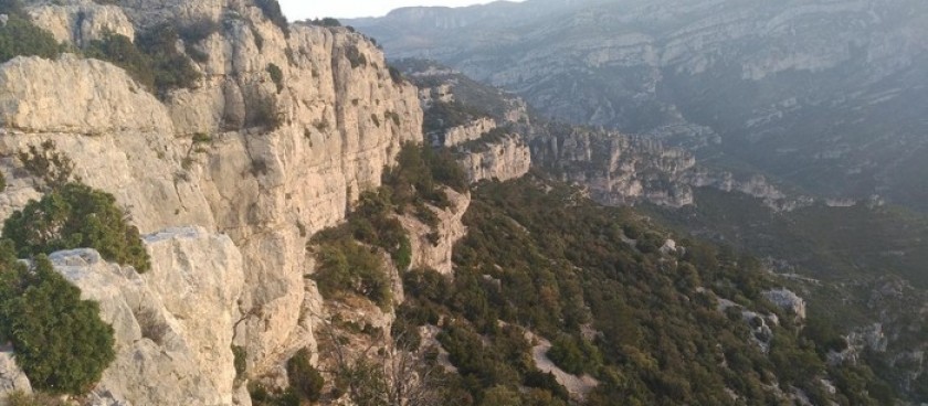
A rewarding mountaineering day with a horseshoe route with different start and finish points over high mountains.

Image source: © es.wikiloc.com
-
#Nature Trails
Location of Start - 40.677839, 0.283306
Distance - 12,4 km.
Ascent - 460m.
Walking time and total completion time including any stops - 4hrs/5,5hrs
Start point - La Senia. Ermita de Pallerols a few km to the N of the village.
| With your back to the BBQ and shelter continue up the track past the Ermita on your RHS with (usually) permanently burning candles. A little beyond this your Y/W path rises a little above the track and is more pleasant to walk on. It continues almost flat into a corner from where it rises steadily to pass close to the Casa Bernarda – a large ruin - and to the R of a rocky summit. |
1,6km |
| Now we descend again a little along the ridge line and down to a col with an imposing summit ahead of us. We pass around to the RHS of this along a clear mozarabic trail which climbs steadily to reach a vantage point with stupendous views a little beyond the main summit (La Gotellera). Pause to take in the scenery! |
3km |
| Now continue along the ridge with the main ridge line generally to your RHS. Although there is some tree cover there are also some fantastic views as you thread your way along this ridge. Now you need to take particular note of exactly where you are. The map of la Tinenca de Benifassa from el Tossal Cartografies is very helpful for keeping a grasp of your position. Pass the summit of Los Tombadots on your RHS. |
3,7km 1hrs |
| Contour around to the L a little before rising up to a small rocky knob with a tree clad summit ahead of you and pass to the RHS of the ridge line here. The summit directly above you is La Carenera. Now pass along in the trees with the ridge line on your LHS. The summit is a little way above you but within a few minutes the ground drops to almost meet your path and the ridge to you L is only some 5m above you. This is a critical point because here you are going to leave the easy path. You are now directly below the Punta de la Gavarrera only some 50m to the N but there is little merit in struggling up to is as the views that you will enjoy almost immediately are much the same! Step up onto the ridge and look to your R. You can see some indications of a path dropping away down the slope and heading due E around the head of a corrie. Make your way slightly downhill as you start to cross this largely pathless terrain. You will need to pick a path quite carefully to avoid the worst of the scrub and scree, but you have 2 clear objectives. The first is a buttress which juts out along your route as you round the corrie and the second a little further off is a clear ridge running down from R to L in the middle distance with a very clear house (ruined) under a crag. It is this ridge that you must gain. |
4,3km 1hrs, 11mins |
| Be vigilant in your study of the track ahead. Although it is slow going after a little while the regularity of cairns increases and there is better evidence of a clear path as you have the summit of Morral Llampat ahead and up to the RHS of your path. You must avoid going too low to cross the clear barranco under this summit and instead look for good traces of the path with cairns. This runs true towards our desired ridge line and soon the path is very clear although it pushes through spiky bushes. | 6km 1hrs, 45mins |
Information sources: © walksinspain.org