Circuit of Ballestera via Barrancos Estrets and Riu de les Valls
, Show all 76 places in SPAIN » SPAIN76
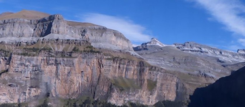
2 beautiful barrancos with grand scenery all around with a set of wooded connecting paths with sweeping views between them.

Image source: © walksinspain.org
-
#Nature Trails
Location of Start - 40.904593, 0.282061
Distance - 15km.
Ascent - 460m.
Walking time and total completion time including any stops - 4hr / 5.75hr
Start point - Arnes, Remote location on minor road leading to Els Estrets at finger post indicating 2km to Els Estrets Lay-by suitable for up to 4 cars at side of road. Other parking slots available on this road.
| Continue along the road in the direction that you drove in to the parking area. When you reach the finger post that shows 1.75km to Els Estrets turn R onto a track. Cross a stream by ford or stepping stones and walk uphill to a fork where you turn R now clearly following small blue star markers indicating the Estels del Sud (a 5-day circuit of Els Ports). | 540m, 7mins |
| Once this track becomes a grassy lane look out carefully for a footpath going off to the R which we take. This is indicated by a small cairn and a fading blue star paint marker. Follow this about 20m above the stream bed which is on your RHS. | 1.1km, 14min |
| Carry on into the Estrets, an open area with grand crags above you, using a path where you continue directly ahead climbing up to walk on top of a closed water channel. Ignore a small path that moves off to the L shortly after you start along this route. | 1.8km, 28min |
| The valley narrows and the cliffs become more impressive. After some 20mins and 1.5km look out for a small concrete obelisk beside you on the RHS which marks a footpath fork and here you turn R downhill and shortly after R again to cross the stream bed and then begin to walk uphill. | 3.6km, 52min |
| Pass 2 finger posts descending a little at the second and after working up beside a heavily eroded barranco swing around into an open area where there is a third finger post with signs pointing both ahead and to the L. Ignore both of these and instead take a thin path going off to the R which soon becomes clearer in woodland. | 4.2km, 1hr 2min |
| Continue up this path, occasionally climbing steeply up through terraces, for some time to reach a track where you turn R to quickly reach a col. | 5.9km, 1hr 35min |
| Descend the far side of this and cross a barranco onto a grassy plateau where there is a fork. Take the L option and rise steadily. This track ends at a col where a footpath continues slightly to the L immediately descending the other side. |
6.6km, 1hr 46min |
| Continue down until you reach a large open area with a ruin on a terrace above you on the LHS. This is the Mas de les Valls. Follow the footpath down to the junction with the Riu de les Valls where a R turn brings you onto a path marked with blue stars. This path follows alongside of the barranco as it descends in a series of small cascades and blue-green pools. |
7.8km, 2hr 7min |
| Follow the well-made path across rocky slabs sometimes close to the water and sometimes high above it. After some time you enter woodland and descend steeply on a broad path to a junction. (30 mins and 1.7km after your last R turn into the valley) Turn R here onto a smaller path with blue star markings and start to ascend again in woodland. |
9.8km, 2hr 41min |
| From here on the blue markers are essential to help navigate the many junctions and changes from path to track. The path soon passes a substantial ruined Mas on the LHS before reaching a col a few minutes later. | 10.4km, 2hr 54min |
Information sources: © walksinspain.org